Rainbow Mountain: The Colors of Peru's Andes
Discover why Vinicunca has colored stripes, how to plan for its altitude, when to visit and how to travel responsibly in Peru's Andes.
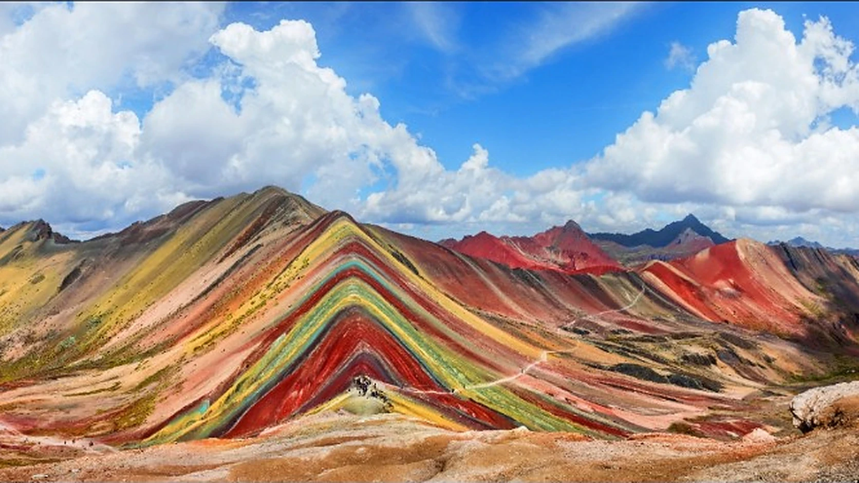
Image supplied for PRESDA. Weather, light and photographic processing can affect how vivid the mountain's colors appear.
Rainbow Mountain is a high-altitude landscape of mineral-colored rock near Cusco, Peru. Known as Vinicunca or Winikunka, its stripes are geological layers, not paint. The view is extraordinary, but the journey is also a serious encounter with altitude: Peru's tourism inventory places the Cusipata sector at 5,036 metres. MINCETUR's destination inventory
The photograph usually arrives before the mountain does. A sharply striped ridge fills the screen, promising a landscape almost too colorful to believe. Visiting it requires replacing that single image with a larger picture: weather, thin air, changing access arrangements and the people who live along the route. The most rewarding trip begins with realistic expectations.
Why does Rainbow Mountain have so many colors?
Layers first, mountains later
Sedimentary rocks begin as accumulated material that is buried, compacted and cemented. Different deposits can produce different layers. The US Geological Survey explains that these beds may contain sand, silt, clay or material derived from organisms. They are records of changing conditions, rather than decorative bands added to an existing mountain. USGS: sedimentary rocks
The Andes subsequently lifted and deformed older rocks. A Columbia University field guide connects Vinicunca's appearance with sediment composition and later alteration. It is a teaching guide, not a definitive mineral survey of every visible stripe. That distinction is useful when assessing internet diagrams assigning one simple chemical recipe to each color. Columbia's Peru field guide, pages 56–60
What red and yellow can tell us
Iron oxides are important natural pigments. Hematite can give rock a rusty red tone; other iron-bearing minerals contribute yellow and brown hues. Grain size, mineral mixtures and chemical changes matter as well. Color is evidence to investigate, not a complete laboratory analysis made with the naked eye. USGS: red rocks
Photographs add another layer of interpretation. Exposure, saturation and editing can strengthen contrasts; cloud, shadow and wet surfaces change what a visitor sees. Expect real colored strata, not a promise that every slope will match the brightest image online. A photograph should invite curiosity about the mountain rather than become a test the mountain must pass.
How high is Vinicunca, and why does that matter?
Published elevations are not identical. MINCETUR lists 5,036 metres for the Cusipata sector, while Columbia's guide describes a ridge at approximately 5,200 metres. These figures should not be silently treated as measurements of one precisely defined spot. For trip planning, the essential fact is that the excursion reaches terrain above 5,000 metres.
At altitude, reduced air pressure lowers the oxygen available with each breath. Physical fitness does not prevent altitude illness. The CDC recommends gradual ascent and time to acclimatize; arriving from sea level and immediately attempting a demanding high excursion is a poor itinerary. Discuss relevant medical conditions and preventive options with a qualified clinician before departure. CDC Yellow Book: high-altitude travel
A short walk can still be a demanding one
Do not continue upward with symptoms of altitude illness. Headache accompanied by nausea, dizziness or unusual fatigue deserves attention; worsening symptoms require descent. Confusion, loss of coordination or breathlessness at rest call for urgent help and descent. A horse, an oxygen canister or determination is not a substitute for an appropriate acclimatization and evacuation plan. CDC: symptoms and prevention
When should you visit?
The Cusco region has a broadly drier period from May to October and a wetter one from November to April, according to a World Bank climate assessment using regional station records. This is a seasonal planning guide, not a forecast for the ridge. High mountain conditions require a fresh local check before departure. World Bank: Cusco climate assessment
Pack for exposure rather than for the temperature in a city hotel: insulating layers, a waterproof outer layer, gloves, sun protection and footwear with reliable grip. Keep your return arrangements clear. If the guide changes the itinerary because of weather or access, treat that decision as part of responsible mountain travel, not a failure to deliver a photograph.
Access, costs and the communities behind the view
Many visits are organized from Cusco. Before booking, ask which approach is being used, where walking begins, the expected elevation gain, group size and what happens if someone needs to turn back. Road time and walking distance depend on the actual route. A low advertised price means little without that itinerary.
There is a contemporary governance story here as well. In June 2026, Peru's Presidency of the Council of Ministers reported a temporary arrangement between Chillihuani and Llaqto for collecting tourism income while a transitional committee's registration was completed. PCM's June 2026 statement
That announcement is not a guarantee of today's opening status or a permanent entrance tariff. Confirm the current local fee, whether it is included in the tour, cash requirements and the cancellation policy. Budget separately for transport, guiding, meals and optional services. This guide does not present an unverified price as an official charge.
How to leave a lighter footprint
Stay on authorized paths, take rubbish back, ask before photographing residents and respect decisions made by local guides and communities. If choosing animal transport, consider the animal's condition and load rather than treating it as an automatic shortcut. The objective is a visit that makes sense for the place as well as the visitor.
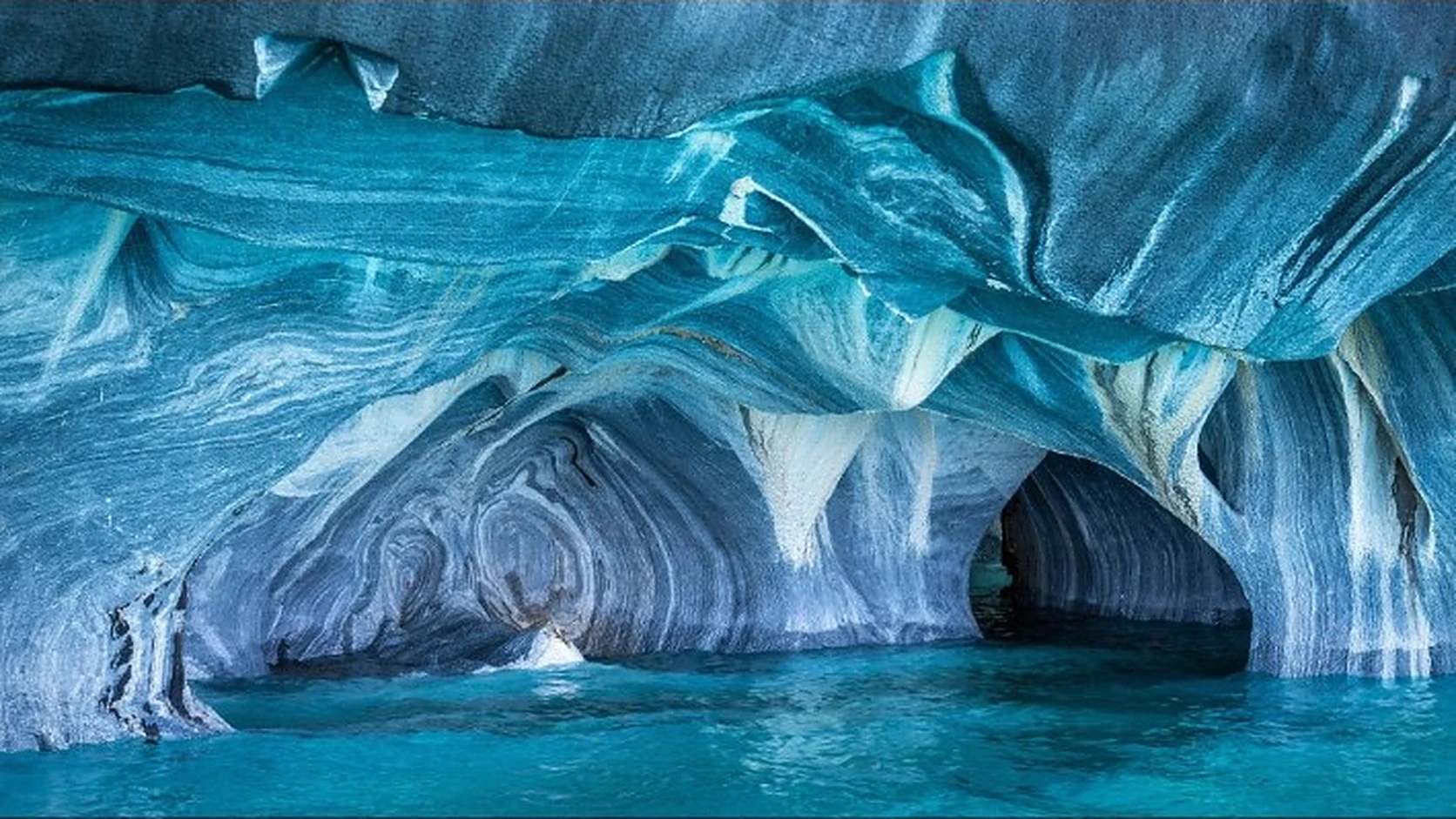
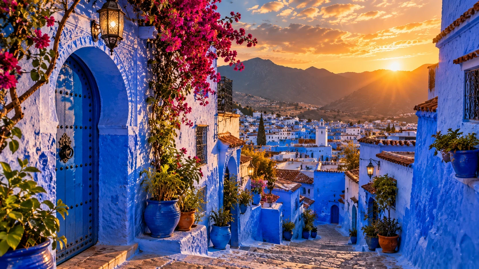
Vinicunca rewards looking beyond color: at how layers became mountains, how people organize access and how a body responds to thin air. For another landscape shaped by rock and water, explore Chile's Marble Caves. For a different relationship between color and place, read about Chefchaouen's blue streets.
FAQ
Frequently Asked Questions
What is this PRESDA article about?
Discover why Vinicunca has colored stripes, how to plan for its altitude, when to visit and how to travel responsibly in Peru's Andes.
Which category does this story belong to?
This story is part of PRESDA's Travel coverage.
Who published this article?
Rainbow Mountain: The Colors of Peru's Andes was published by PRESDA Editorial on PRESDA.
PRESDA Dispatch
Stay Informed. Stay Aware.
A sharp briefing across AI, gaming, sport, business, world affairs, paparazzi, and lifestyle.