CHANDRAYAAN-3: INDIA'S HISTORIC MOON LANDING
India landed Vikram near the lunar south pole in 2023. Where it touched down, what Pragyan measured and what the mission did not establish.
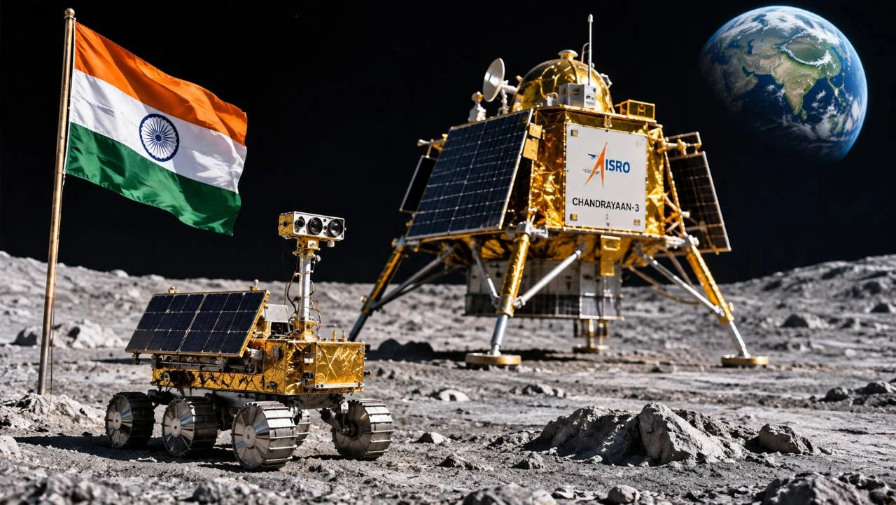
Editorial illustration supplied for PRESDA.
On August 23, 2023, India’s Vikram lander reached the surface of the Moon intact. Chandrayaan-3 was the first mission to make a successful soft landing in the Moon’s southern high-latitude region. India also became the fourth country to soft-land on the Moon. The position was close to latitude 69.37° south, several hundred kilometres from the geographic south pole. From that site, a small rover called Pragyan made measurements of lunar soil. The mission was designed to demonstrate safe landing, movement on the surface and scientific work at a place that had not previously been sampled in person or by a rover. ISRO Chandrayaan-3 mission record India’s United Nations space object registration ISRO Science Data Archive NASA technical study of the landing location
How Chandrayaan-3 reached the Moon
| Milestone | What happened |
|---|---|
| July 14, 2023 | The mission launches aboard LVM3 |
| August 23, 2023 | Vikram soft-lands near latitude 69.37° south |
| Surface operations | Pragyan analyses local soil while Vikram carries separate experiments |
| Public archive | ISRO publishes data products and instrument documentation |
The mission launched on July 14, 2023, on India’s LVM3 rocket. Its three main elements were a propulsion module, Vikram and the rover inside the lander. The propulsion module carried the lander-and-rover combination toward the Moon and separated before the descent. Chandrayaan-3 followed Chandrayaan-2, whose orbiter reached the Moon in 2019 but whose lander did not complete a safe touchdown. Demonstrating a controlled landing was therefore central to the follow-up mission. ISRO Chandrayaan-3 mission record ISRO Science Data Archive
What “soft landing” means
The aim is to arrive at a speed and orientation the vehicle can withstand, at a place where it can carry out its tasks. A controlled descent has to manage both the spacecraft’s motion and its distance from the surface. The camera, navigation system and other sensors provide information that can be used on board as the surroundings change. ISRO’s archive describes an autonomous landing sequence. A safe landing is the point where a sequence of measurements and adjustments produces a lander able to work on the ground. ISRO Chandrayaan-3 mission record ISRO Science Data Archive
Where Vikram actually landed
India’s registration records the site near 69.37° south. This places it in the southern high latitudes of the near side. The geographic pole is at 90° south. A NASA technical report places the landing around 632 kilometres from the pole. That distance matters because “south polar region” is a geographic description used with some flexibility, while a coordinate locates a specific site. A drawing of the landing also differs from a map that allows readers to compare the latitude, terrain and lighting of other sites. India’s United Nations space object registration NASA technical study of the landing location
What an orbital image can verify
The Lunar Reconnaissance Orbiter Camera imaged the landing site after touchdown. An image from above can show the lander’s position at the scale the camera resolves. That is different from a surface view, where a lander or rover can see individual rocks and the texture of the ground in front of it. Recording the date, spacecraft and resolution makes the image useful as evidence. An illustration of the landing can help readers see how the lander and rover fit together, but it does not serve as a record of the placement of flags or other objects. Lunar Reconnaissance Orbiter Camera archive
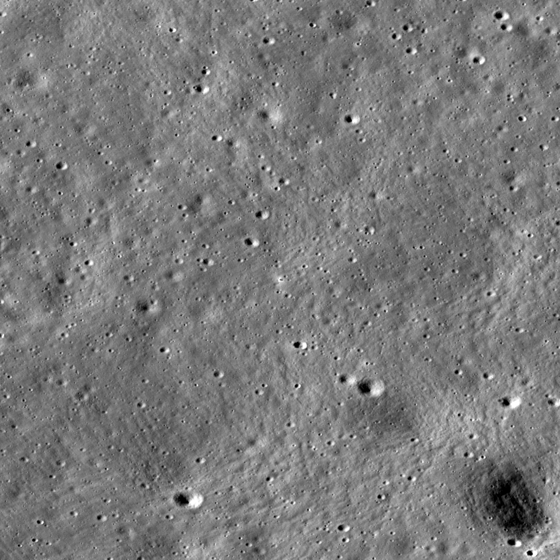
Vikram’s landing site imaged by the Lunar Reconnaissance Orbiter Camera on August 27, 2023. The lander is near the centre.
What Pragyan measured
After deployment, Pragyan used two instruments to study the material around it. LIBS, the laser-induced breakdown spectroscope, examines light emitted from a tiny amount of material excited by a laser. APXS, the alpha particle X-ray spectrometer, uses another technique to determine elemental composition. ISRO reported that LIBS confirmed sulfur at the site. Later analyses used APXS measurements to investigate the characteristics of the soil and compare them with other lunar material. Each measurement describes the material the sensor actually sampled. ISRO Chandrayaan-3 mission record ISRO Science Data Archive ISRO analysis of Pragyan soil measurements
What detecting sulfur does and does not tell us
Identifying an element is evidence about the composition of the material within the instrument’s reach. It does not establish how much of the same element exists elsewhere or whether it could be collected economically. It also does not demonstrate that water ice was present at the landing spot. A study that compares the rover’s results with lunar meteorites or with material from elsewhere uses a second line of evidence. The comparison may suggest how impacts or earlier geologic processes shaped the site. The hypothesis still depends on how well it explains the pattern of different elements and the wider setting. ISRO Chandrayaan-3 mission record ISRO analysis of Pragyan soil measurements
What Vikram did while Pragyan moved
The lander also carried scientific instruments. ISRO’s archive identifies ChaSTE for near-surface thermal measurements, ILSA for ground motion, and a radio experiment for the plasma environment, along with a passive laser retroreflector from NASA. Their tasks were separate from the rover’s chemical measurements. Taken together, they offer a record of more than one property of the local environment. That is useful because the thermal conditions, mechanical signals and composition of a site can each tell a different part of its history. ISRO Chandrayaan-3 mission record ISRO Science Data Archive
Why the lunar night limited operations
The lander and rover were designed to operate in sunlight for about one lunar day, roughly two Earth weeks. A lunar night changes both the energy available to solar hardware and the thermal environment. A mission with a stated daylight operating plan can meet its primary objectives without resuming work when sunlight returns. The available data should be read in relation to that schedule. Measurements at one site during one span of daylight describe that span, rather than a full seasonal record of the lunar environment. ISRO Chandrayaan-3 mission record ISRO Science Data Archive
How to look up the science
ISRO released observations through its science archive, where researchers can identify instruments and download data products. A landing date and a coordinate tell us where to begin. The instrument documentation tells us what counts as an observation, how it was obtained and how to compare it. For a related example of the value of those records, read PRESDA’s feature on the UAE’s Hope Mars mission. Both missions made scientific data available, while one observed a planet’s atmosphere from orbit and the other measured conditions on a patch of the lunar surface. ISRO Chandrayaan-3 mission record ISRO Science Data Archive
Why the scale of a measurement matters
A soil measurement near a rover and an image covering a crater answer different questions. The rover can analyse material at the points it can safely reach. An orbital view provides context for the landing and for comparing the surrounding terrain, but it cannot automatically reproduce the rover’s local chemical measurement. Similarly, a finding at one of the rover’s stops need not describe every place within the visible scene. Putting those observations together requires retaining the location and scale of each one. The archive and its instrument documentation let a reader begin that comparison without confusing a single data point with a map. ISRO Science Data Archive ISRO analysis of Pragyan soil measurements Lunar Reconnaissance Orbiter Camera archive
How place names, coordinates and images fit together
Statio Shiv Shakti identifies the site in the registration and scientific archive. A coordinate expresses its position in a lunar reference system, while a dated photograph provides evidence of what was seen. Those are complementary records. Scientific work requires keeping them attached to the correct instrument and observation. India’s United Nations space object registration ISRO Science Data Archive Lunar Reconnaissance Orbiter Camera archive
That care matters when one result is used to make a broader claim. A measurement in the surface soil can be compared with results from another site, but doing so requires an account of how each instrument sampled the material. ISRO Science Data Archive ISRO analysis of Pragyan soil measurements
FAQ
Frequently Asked Questions
When did Chandrayaan-3 land?
Vikram touched down on August 23, 2023.
Did it land at the geographic south pole?
The landing site was near latitude 69.37° south, about 632 kilometres from the pole.
Did Pragyan confirm water ice?
Its reported local elemental measurements included sulfur. That finding does not establish the presence of water ice at the site.
PRESDA Dispatch
Stay Informed. Stay Aware.
A sharp briefing across AI, gaming, sport, business, world affairs, paparazzi, and lifestyle.