DERINKUYU: THE HIDDEN CITY BENEATH TURKEY
Explore Derinkuyu’s tunnels, air shafts and stone doors, who used this Cappadocian refuge and what its depth and population estimates really mean.
Editorial illustration supplied for PRESDA.
Derinkuyu, beneath a modern town in Turkey’s Cappadocia region, is a network of excavated rooms, shafts and passages designed to help people survive danger above ground. Its ingenuity lies in the way food storage, access to water, ventilation and controlled movement worked together. Understanding that system also means looking carefully at the dates and spectacular numbers attached to it. Turkish Ministry of Culture site history Turkish Museums site description
Where is Derinkuyu, and what was it for?
| Period | Documented milestone | How to read it |
|---|---|---|
| 9th–10th centuries | Ministry estimate for the defensive settlement | Dates of individual excavations may differ |
| 1963 | Modern rediscovery in official accounts | A rediscovery date does not date construction |
| 1965 / 1967 | Different official visitor-opening dates | Museum and district accounts disagree |
| Today | A limited managed visitor route | The published 85 m figure describes depth, not an open hall |
The site is in Nevşehir province, about 30 kilometres south of Nevşehir on the road toward Niğde. Its Turkish name evokes a deep well, an appropriate image for a settlement whose vertical connections are as important as its rooms. Cappadocia contains many excavated settlements of different sizes. The ministry’s regional brochure describes roughly 150 to 200 underground settlements, which places Derinkuyu within a much wider practice of adapting the landscape for shelter. Turkish Museums site description Ministry museum brochure on Cappadocia
A refuge connected to life on the surface
The ministry describes Derinkuyu as a defensive hiding place used during the spread of Christianity. Food had to arrive from agriculture above ground, animals needed fodder, and stored supplies had to be renewed. Those dependencies help explain the relationship between an underground refuge and its surrounding settlement. A place capable of sustaining people during danger did not have to be an entirely independent town occupied permanently in every room. Turkish Ministry of Culture site history
Who built the underground city?
The culture ministry estimates a ninth- to tenth-century date for the defensive settlement it describes. Popular accounts often propose much older beginnings and assign the whole network to one ancient people. Excavated spaces can be enlarged, connected and reused over generations, so the date of an early room and the date of the system’s later arrangement need not be identical. The secure starting point is the surviving fabric and the documented Christian use, followed by qualified discussion of earlier possibilities. Turkish Ministry of Culture site history UNESCO Göreme and Cappadocia listing
Why a rock-cut building is difficult to date
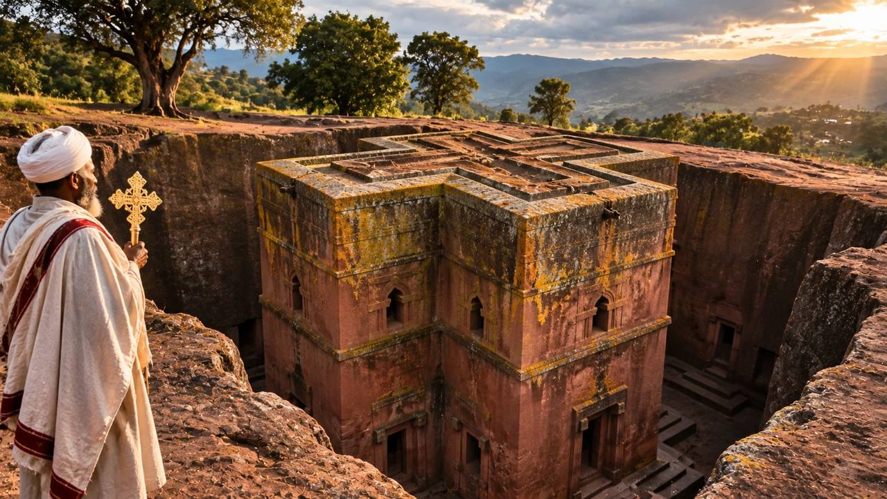
A dated inscription can anchor one activity, while a doorway cut through an existing wall can establish which alteration came later. Neither necessarily gives the age of every neighbouring chamber. Carving also removes earlier surfaces, potentially erasing evidence. Readers familiar with Lalibela’s churches carved from rock will recognise the same interpretive challenge, even though the two sites had different purposes and histories. Each underground space needs to be understood through its own evidence.
How people could breathe and obtain water
Air shafts connect the surface with deeper spaces, while smaller openings distribute air through parts of the complex. The Turkish Museums description identifies a shaft about 55 metres deep that also functioned as a well. That example explains why an opening might serve more than one purpose. A diagram showing all shafts as interchangeable air ducts would obscure the practical differences between moving air, reaching water and controlling access from the surface. Turkish Museums site description
Water security mattered as much as stone doors
The museum account says some wells lacked a direct opening at ground level, reducing the danger of poisoning during an attack. This was a way of protecting an essential resource, although the description cannot tell us how every well operated in every period. Once people had entered the refuge, the availability of drinkable water would have limited their endurance alongside food, fuel, waste management and the number of occupants. Ventilation made the spaces usable, but survival depended on more than fresh air alone. Turkish Museums site description
What the rooms reveal about everyday logistics
The official descriptions identify stables, storage areas, dining spaces, churches and facilities for processing grapes. The regional brochure explains why stables commonly occupied entrance levels in Cappadocian settlements. Moving large animals down steep, narrow passages was difficult. Keeping them close to the entrance reduced that problem, while their food and the people tending them still needed room. Different levels therefore reflect practical decisions about what could be moved safely. Turkish Museums site description Ministry museum brochure on Cappadocia
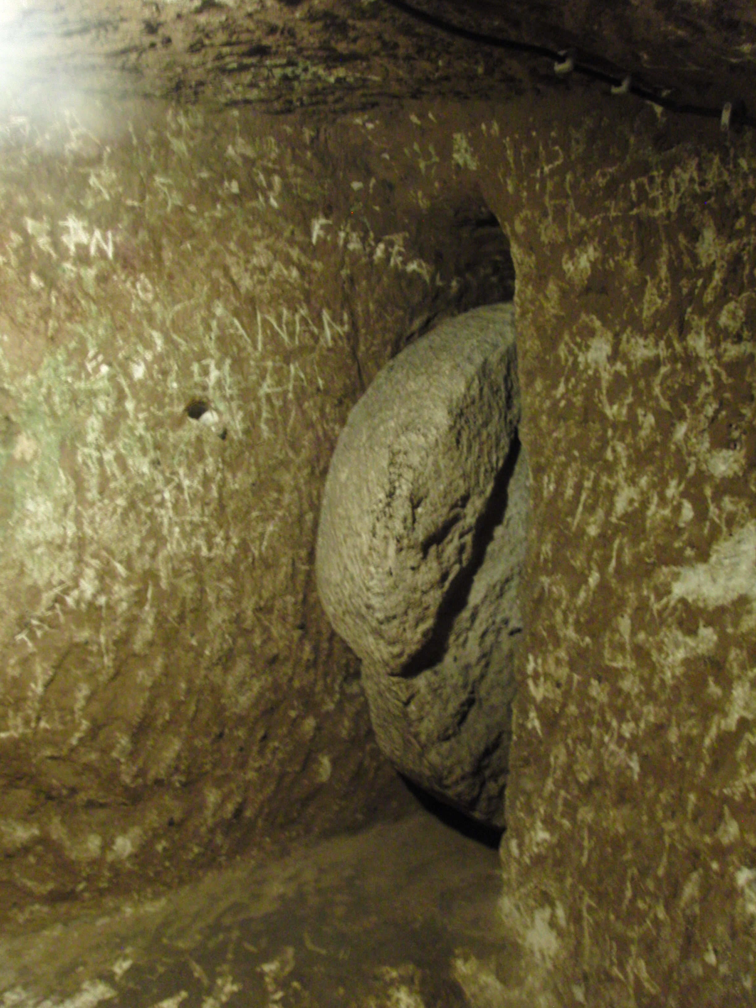
A circular stone door at Derinkuyu, photographed by TobyJ in August 2012.
Kitchens, grapes and shared work
The brochure places wine-processing areas and kitchens generally near upper levels, making harvested grapes easier to bring inside. It also notes evidence for shared kitchens across the region. Such arrangements show how a refuge could organise repeated tasks collectively. A store of grain would support people only if they could prepare it, carry water and distribute meals. Storage rooms, circulation passages and cooking areas should consequently be read as parts of one working system. Their relationship tells us more than simply counting cavities in the rock. Ministry museum brochure on Cappadocia
What the circular stone doors accomplished
The district account describes large round stones used to close routes through the complex. Blocking a passage could slow access and isolate one section from another. A narrow route that feels inconvenient to a visitor can therefore make sense in a defensive setting. It restricts the space through which an attacker could move and gives people inside fewer approaches to watch. Those advantages came with costs for anyone carrying supplies or trying to pass another person in the corridor. Derinkuyu district governorship
Reading a plan without imagining a modern apartment block
A floor plan flattens vertical movement onto a page. At Derinkuyu, stairs, slopes, shafts and tight turns change how spaces relate to one another. A chamber apparently near another on a diagram may require a longer route in practice. The arrangement encourages a question more informative than “how many floors?” Follow the path between an entrance, water, a storage room and a protected gathering place. That exercise shows why the connections were as important as the volume of the rooms.
How deep is Derinkuyu?
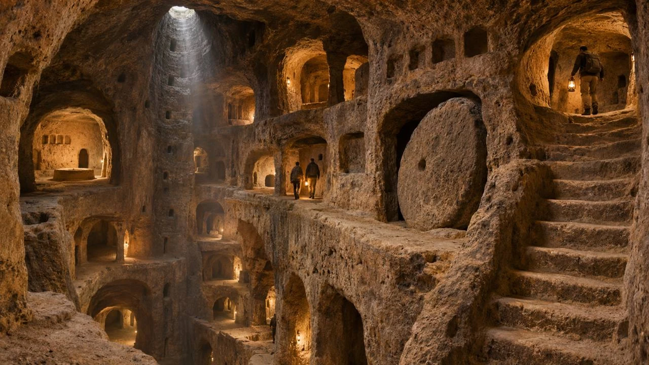
About 85 metres is the depth frequently given in Turkish museum descriptions, but official materials distinguish several measurements. A ministry brochure describes a shallower depth relative to a ventilation shaft and a greater depth when a lower water shaft is included. The district governorship describes eight visitable levels reaching about 50 metres and a larger depth proposed for further cleared spaces. These figures refer to different points and degrees of access. They do not mean that visitors walk through an open hall 85 metres high. Turkish Museums site description Derinkuyu district governorship
How many people could it hold?
A precise population total would require assumptions about usable space, water supply, food stocks, animals and length of refuge. The often-repeated figure of 20,000 people should be treated as an estimate, not an excavated headcount. Nor does a proposed maximum capacity establish the number present during an actual emergency. A short stay by a larger group and a longer stay by fewer people pose different demands. The most useful explanation of capacity states those dependencies instead of turning a large number into a census.
Rediscovery and the limits of the visitor route
Official accounts place modern rediscovery in 1963. They differ about opening to visitors, with museum descriptions giving 1965 and the district account giving 1967. This disagreement should remain visible when a chronology is condensed. The museum also says roughly one tenth of the complex can be visited. That description indicates the difference between a managed route and the larger excavated network, although access arrangements can change. The current museum notice is the place to check hours and entrance conditions. Turkish Museums site description Derinkuyu district governorship
What the supplied image can and cannot establish
The hero is an editorial reconstruction of underground architecture. Its open views across several levels help communicate depth, but the image is not a measured survey or an archaeological photograph of one existing chamber. The supporting documentary photograph shows actual fabric. Use plans and site records to understand the layout, and regard an illustration as a visual introduction. This distinction matters especially at Derinkuyu, where dramatic cutaways can make a complex refuge resemble a single vast underground atrium.
FAQ
Frequently Asked Questions
Where is Derinkuyu?
It is beneath the town of Derinkuyu in Nevşehir province, Cappadocia, about 30 kilometres south of Nevşehir.
Was Derinkuyu a permanent underground city?
Its documented defensive role is clear. It depended on the surface for food and supplies, and the function and duration of occupancy could vary by space and period.
Is Derinkuyu really 85 metres deep?
Turkish museum descriptions give about 85 metres, with qualifications about shafts and measurement points. The depth of the visitor route is a separate question.
Who built Derinkuyu?
The culture ministry estimates a ninth- to tenth-century defensive settlement. Earlier beginnings and later expansions require evidence specific to each phase.
Can visitors enter every level?
No. Official descriptions identify only a portion as visitable. Check the current museum information for access, closures and practical conditions.
PRESDA Dispatch
Stay Informed. Stay Aware.
A sharp briefing across AI, gaming, sport, business, world affairs, paparazzi, and lifestyle.