The Diquís culture: The chiefdoms behind Costa Rica’s stone spheres
Ceramics, goldwork, burials and village layouts reveal the communities behind the delta’s monumental sculptures.
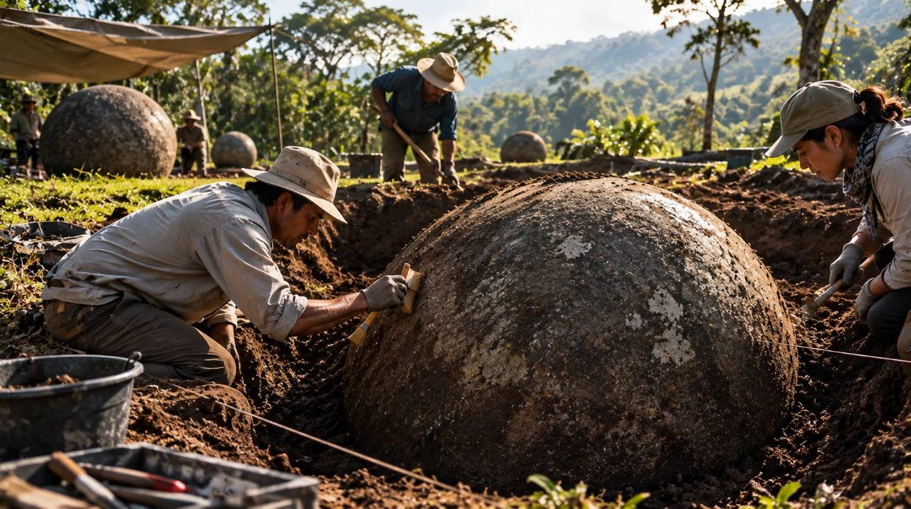
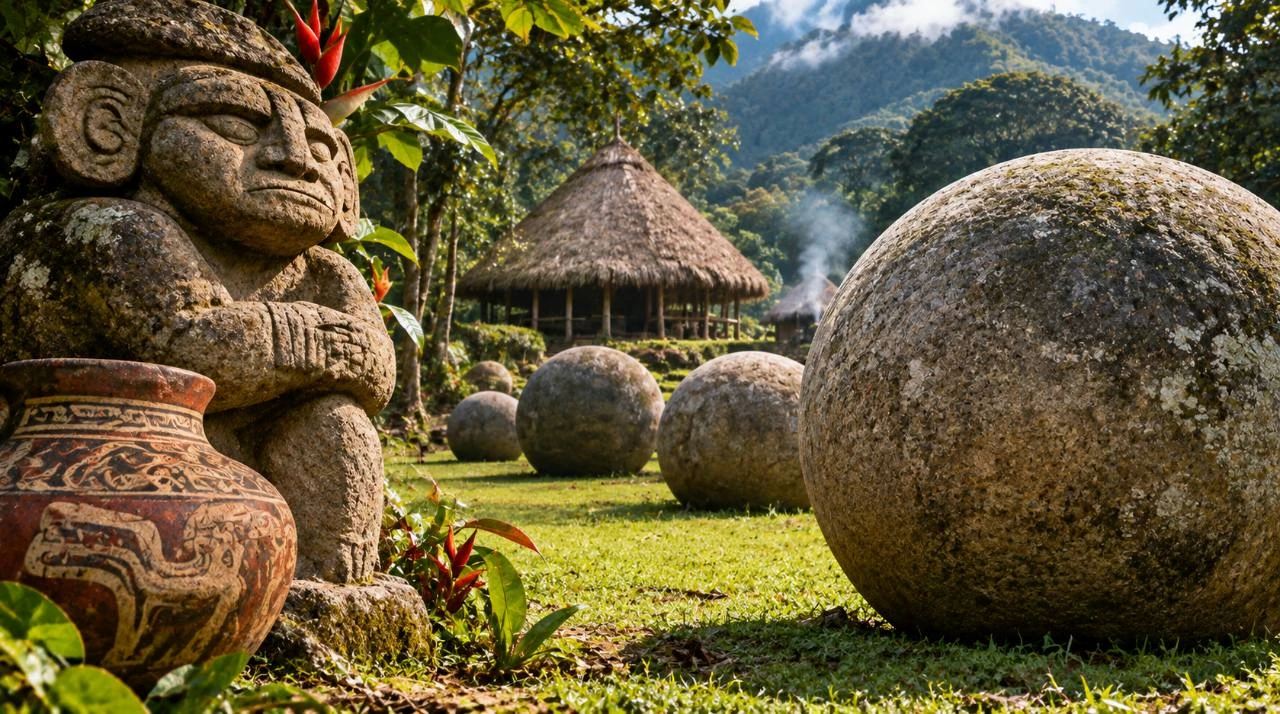
Imagined settlement, editorial illustration supplied to PRESDA.
A stone sphere is the most visible trace of Diquís craftsmanship, but a potsherd or house foundation can answer questions a sculpture cannot. In what is now southern Costa Rica, the archaeological record describes changing communities that farmed, worked stone and metal, and built increasingly elaborate villages. Museo Nacional de Costa Rica
From early ceramics to larger settlements
The National Museum assigns Aguas Buenas ceramics in the region a broad range, about 300 BCE to 800 CE. After about 800 CE, the record shows larger villages, more complex layouts and stronger signs of social hierarchy. This chronology describes changes in material culture over time. It does not provide the names by which the inhabitants identified themselves. Museo Nacional de Costa Rica
How village design reveals authority
At Finca 6, stone-faced mounds, paths and spheres are part of a built setting. Large platforms and sculptures required organized labor. Access to prestigious spaces and objects suggests differences in status, which helps explain why archaeologists use the term chiefdoms. The surviving plans show how residents arranged space, even where individual ceremonies cannot be reconstructed. UNESCO World Heritage Centre
Potters, sculptors and goldworkers
Gold and gold-alloy ornaments add a different view of skill and exchange. Metalworkers could turn small amounts of material into elaborate pendants. Pottery documents other aspects of life, from vessels in daily use to objects deposited in burials. Such contexts allow scholars to ask who made an object, who used it, and why it ended up where excavators found it. Museos del Banco Central de Costa Rica
A delta with more than one kind of settlement
The four protected places preserve different parts of a regional landscape. A prominent settlement like Batambal could be seen from a distance. Finca 6, on the plain, preserves monuments in relation to built structures and was probably a principal centre. Grijalba-2 has a different architectural vocabulary, with limestone, and has been interpreted as a secondary centre. El Silencio is particularly important for a very large sphere. The differences caution against treating every site with a sphere as a replica of the same village. Source · UNESCO World Heritage Centre
How to read the four-site chronology and geography
UNESCO inscribed the group in 2014. Each component has its own protected boundary and buffer zone, so the designation cannot be understood from a single pin on a map. The official boundary figures below give the size of each inscribed component. These areas are protection and management measurements, and cannot be used to calculate ancient population or the total area in which a community once lived. Source · UNESCO World Heritage Centre, maps
| Site | Protected area | Distinctive evidence |
|---|---|---|
| Finca 6 | 9.55 ha | Alignment of spheres in place |
| Batambal | 0.80 ha | Settlement visible from afar |
| El Silencio | 6.16 ha | Largest recorded sphere |
| Grijalba-2 | 8.22 ha | Limestone architecture |
What an alignment can and cannot show
A row of spheres in the ground supplies a relationship that a collection arranged for display cannot reproduce. Field teams can record the distances between objects, their orientation and their position relative to platforms and paths. The modern surface does not necessarily coincide with the ancient one, so excavation and documentation matter as much as a photograph. An alignment demonstrates deliberate placement where the context survives. Its orientation alone cannot establish an astronomical target or the purpose of a particular ceremony. Source · UNESCO World Heritage Centre Source · Museo Nacional de Costa Rica
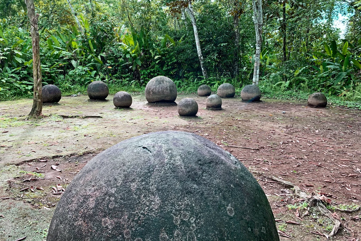
Diquís stone spheres in their archaeological setting at Finca 6, Palmar Sur.
Diego Padilla Durán and Mario Roberto Durán Ortiz
Resized and converted to WebP. This version is available under CC BY-SA 4.0.
Why the landscape belongs in the interpretation
The museum’s aerial records situate the archaeological properties among rivers, agricultural land and modern settlements. That perspective helps explain why archaeological surveys must distinguish ancient construction from later changes in the delta. A sphere may still be recognizable after relocation, but the relationship to nearby structures is harder to recover. The PRESDA account of Las Bolas and the hunt for gold follows what can happen to that evidence when sites are disturbed. Source · UNESCO World Heritage Centre Source · Museo Nacional de Costa Rica
Making a monumental sphere required selecting a suitable block, shaping and smoothing it, and organizing its transport. Some source material came from beyond the place where a sphere ended up. The effort makes their public placement significant. The surviving groups cannot tell us whether each sphere carried the same meaning. Metropolitan Museum of Art
What survives in the delta
The four UNESCO sites preserve different parts of this story. Together they allow comparisons between settlements, monuments and surviving object groups. Their legacy is a record of how people organized work and built places that expressed authority and belonging. UNESCO World Heritage Centre
Four sites, four kinds of evidence
Finca 6 preserves rows of spheres in their original setting, a rare way to examine how people arranged monuments beside earthen structures. At Batambal, the settlement’s visibility from a distance distinguishes it from the other sites. El Silencio preserves the largest known sphere, while Grijalba-2 stands out for its use of limestone and has been interpreted as a subordinate center. Together these contrasts give researchers more to work with than isolated objects in a museum: they can compare each settlement’s place in the landscape, its building material and the relationship between spheres and structures. Source · whc.unesco.org
Explore the settlement landscape
The official World Heritage maps show the four separate properties and their buffer zones. Costa Rica’s National Museum offers aerial photographs and a 360-degree tour that puts the sites beside modern fields, waterways and communities. The maps are particularly helpful for seeing why the inscription protects a group of places with distinct archaeological evidence. Source · whc.unesco.org Source · museocostarica.go.cr
Las Bolas and the gold rumor. Compare Diquís with other World Heritage sites.
FAQ
Frequently Asked Questions
When did Diquís chiefdoms develop?
Their most elaborate settlements are associated with the period after about 800 CE.
What did Diquís craftspeople make?
The record includes ceramics, monumental stone sculpture, and gold and gold-alloy ornaments.
PRESDA Dispatch
Stay Informed. Stay Aware.
A sharp briefing across AI, gaming, sport, business, world affairs, paparazzi, and lifestyle.